Talk to us

 Send Inquiry
GARMIN GPS ETREX 20 X
MOQ : 1 Box
GARMIN GPS ETREX 20 X Specification
- Interface Type
- USB
- Features
- Preloaded worldwide basemap, supports paperless geocaching, custom maps, track log, waterproof to IPX7, automatic routing (turn by turn on roads)
- Usage & Applications
- Backpacking, mountaineering, field data collection, navigation, search and rescue
- Memory Size
- 3.7 GB internal memory; microSD card slot (card not included)
- Type
- Portable GPS Device
- Usage
- Outdoor adventure, hiking, trekking, geocaching
- Function
- Handheld GPS Navigation
- Dimensions
- 5.4 x 10.3 x 3.3 cm
- Weight
- 141.7 g with batteries
- Network
- GPS and GLONASS
- GPS Accuracy
- < 3 meters (95%)
- GPS Sensitivity
- High-sensitivity, WAAS-enabled receiver with HotFix and GLONASS support
- Battery Backup
- Up to 25 hours with 2 AA batteries
- Display
- 2.2-inch, 65K color, 240 x 320 pixels, sunlight-readable
- Frequency
- L1
- Software Updates
- Supported via Garmin Express
- Image Viewer
- Yes
- Waypoints
- 2000
- Track Logs
- 10,000 points, 200 saved tracks
- Waterproof Rating
- IPX7 (water resistant up to 1 meter for 30 minutes)
- Mount Compatibility
- Standard Garmin mounting accessories
- Barometric Altimeter
- No
- Operating Temperature
- -20C to 70C
- Routes
- 200
- Languages Supported
- Multi-language menu
- Battery Type
- 2 AA batteries (NiMH or lithium recommended)
- Compass
- None (uses GPS based direction only)
- Custom Maps
- Supported
About GARMIN GPS ETREX 20 X
Physical & Performance | |
| Physical dimensions | 2.1" x 4.0" x 1.3" (5.4 x 10.3 x 3.3 cm) |
| Display size, WxH | 1.4" x 1.7" (3.5 x 4.4 cm); 2.2" diag (5.6 cm) |
| Display resolution, WxH | 240 x 320 pixels |
| Display type | 2.2" transflective, 65K color TFT |
| Weight | 5 oz (141.7 g) with batteries |
| Battery | 2 AA batteries (not included); NiMH or Lithium recommended |
| Battery life | 25 hours |
| Water rating | IPX7 |
| High-sensitivity receiver | Yes |
| Interface | USB |
Maps & Memory | |
| Basemap | Yes |
| Ability to add maps | Yes |
| Built-in memory | 3.7GB |
| Accepts data cards | microSD card (not included) |
| Custom POIs (ability to add additional points of interest) | Yes |
| Waypoints/favorites/locations | 2000 |
| Routes | 200 |
| Track log | 10,000 points, 200 saved tracks |
Outdoor Features | |
| Automatic routing (turn by turn routing on roads) | Yes (with optional mapping for detailed roads) |
| Geocaching-friendly | Yes (Paperless) |
| Yes | |
| Sun and moon information | Yes |
| Tide tables | Yes (with optional Bluechart) |
| Area calculation | Yes |
| Picture viewer | Yes |
Rugged Outdoor Navigation
Built for demanding conditions, the eTrex 20x endures extreme temperatures (from -20C to 70C) and is waterproof up to one meter for 30 minutes (IPX7 rating). Its compact, lightweight profile fits your palm but delivers professional-grade navigation, perfect for both beginners and explorers venturing into remote terrains in India or worldwide.
Rich Features for Adventurers
Store up to 2,000 waypoints, 200 routes, and 10,000 tracking points, making your journeys both traceable and repeatable. The device supports paperless geocaching, custom maps, and preloaded worldwide basemaps while its color display remains visible in sunlight. Enjoy flexibility with USB connectivity and up to 25 hours of battery operation on standard AA batteries.
Seamless Integration & Customization
Expand your map storage with the microSD card slot and stay updated via Garmin Express software. The device supports a variety of Garmin mounting accessories, letting you attach it securely to backpacks, bikes, or vehicles, adapting seamlessly to your navigation style and adventure needs.
FAQs of GARMIN GPS ETREX 20 X:
Q: How do I ensure my GARMIN GPS eTrex 20x is waterproof during outdoor use?
A: The device is rated IPX7, which means it can withstand immersion in up to 1 meter of water for up to 30 minutes. Always ensure the battery compartment and microSD slot covers are securely closed before exposure to water.Q: What is the best way to extend battery life during long treks?
A: For optimal battery performance, use high-quality NiMH or lithium AA batteries. The device can last up to 25 hours on two fresh batteries. Decreasing screen brightness and disabling unnecessary features can further conserve energy.Q: Where can I find and update the software for my eTrex 20x?
A: Software updates are available via Garmin Express, which can be downloaded from Garmins official website. Connect your device using the USB interface to a computer and follow on-screen instructions to keep your eTrex 20x up to date.Q: What type of navigation features does the eTrex 20x offer for hiking and backpacking?
A: It provides turn-by-turn routing on roads, high-sensitivity GPS/GLONASS reception for strong signal in dense cover, detailed waypoint, route, and track log support, and preloaded worldwide basemaps, making it ideal for navigating remote trails and open terrain.Q: How can I use custom maps with the eTrex 20x for specialized applications?
A: Custom maps are supported via the included microSD slot. Simply load the compatible map files onto your microSD card and access them through the devices menu for detailed and customized navigation.Q: What are the main benefits of using the eTrex 20x for field data collection or search and rescue?
A: The devices capacity for numerous waypoints, routes, and track logs, coupled with accuracy within 3 meters, supports precise positioning and route planning. Its robust build, extended battery life, and sunlight-readable display make it reliable for intensive fieldwork or emergency scenarios.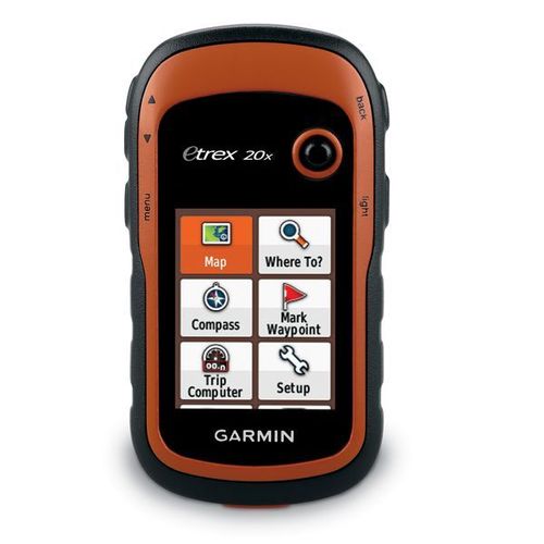
Tell us about your requirement

Price:
Quantity
Select Unit
- 50
- 100
- 200
- 250
- 500
- 1000+
Additional detail
Mobile number
Email

HINDUSTAN ARMY STORE
GST : 06ADEPB4243K1ZU
GST : 06ADEPB4243K1ZU

Mr. D J SINGH
(Director)
Mobile : +919416146360, +919671625109
SHOP NO 1, GITA ASHRAM MKT, LAL KURTI ROAD, Ambala Cantt - 133001, Haryana, India

Quick Link
Developed and Managed by Infocom Network Private Limited.
